

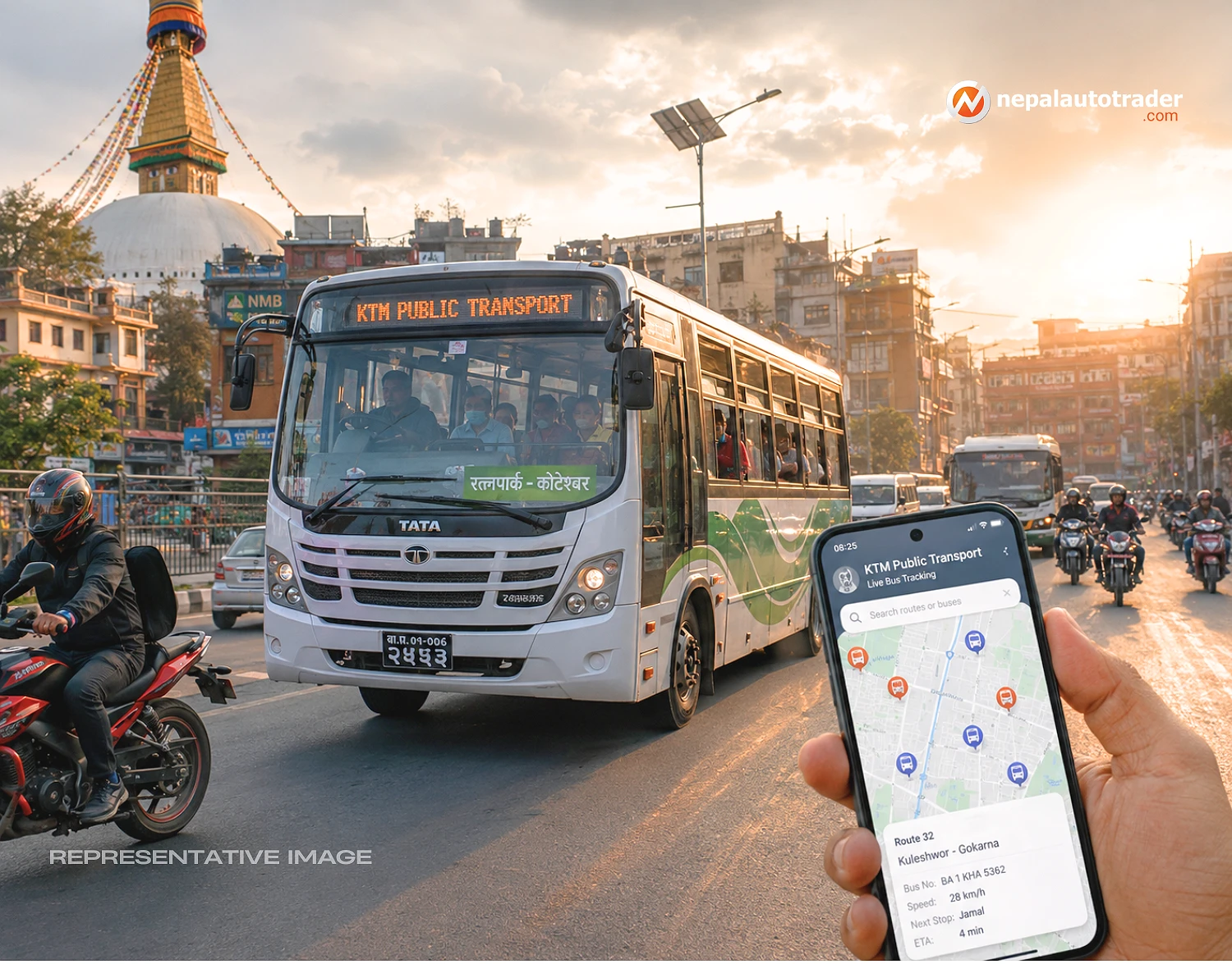
For anyone who regularly waits beside a Kathmandu road for a bus that may or may not appear on time, the appeal of live vehicle information is obvious. KTM Public Transport has now been introduced with a straightforward goal, give passengers better information about where public vehicles are and how close they are to a waiting point.
The application was unveiled on Wednesday at the third meeting of the Federal Capital Urban Area Public Transport Council. The council is bringing together local governments around a problem that does not stop at municipal boundaries.
That matters. Kathmandu Valley's public transport network is inherently interconnected. A bus route can cross several local jurisdictions during one journey, while the passenger simply wants to know when the next bus will arrive.
The new app does not solve every weakness in the system. But it addresses one of the most visible frustrations first, uncertainty.
The most concrete feature announced with the application is its access to location information from approximately 1,200 GPS-equipped vehicles. The authority intends to increase that number as the system develops.
| System Detail | Information Available |
|---|---|
| Application | KTM Public Transport |
| Tracked vehicles | About 1,200 |
| Tracking technology | GPS |
| Coverage | Kathmandu Valley public transport |
| Expansion | More vehicles are planned to be added |
For passengers, the useful part is not the GPS hardware itself. It is what the information can eventually mean at street level. A commuter can have a clearer idea of where a vehicle is instead of relying entirely on guesswork.
That distinction is important. Digital transport systems succeed when they remove small pieces of friction from thousands of ordinary journeys.
The launch came alongside a broader set of public transport decisions. The council approved programs involving bus stop and pick-up and drop-off points, conditions for night bus operations, and models for agreements with municipalities.
It also plans to work with local governments on public transport information systems at major bus stops and bus parks, with GPS tracking included in the proposed setup.
There is a practical logic to this sequence. Tracking becomes more useful when passengers have defined stops, better information displays and more consistent services around them.
Sunita Dangol also highlighted a wider need to make daytime public transport simpler and more accessible, while expanding night services and ensuring public transport operates from early morning for students heading to schools and colleges.
That shifts the story away from a single smartphone application. Public transport accessibility is ultimately about service coverage, operating hours and coordination, not just technology.
The council has also discussed financial partnerships between local governments. Dangol stressed that public transport cannot be treated as an issue belonging to one municipality because routes connect one local authority to another.
The implications extend far beyond the company itself. In this case, there is no single private operator at the center of the story. The challenge is coordination across a fragmented urban transport environment.
Kathmandu's transport users do not need another abstract promise of modernization. They need information that works when they are standing at a roadside, often with no certainty about the next vehicle.
The new application could make that daily experience less opaque. Its value will depend heavily on the quality, coverage and reliability of the underlying GPS information, as well as how quickly additional vehicles are brought into the system.
The council's decision to extend GPS-based information systems into major stops and bus parks points toward a more connected passenger information network. That could eventually make the app only one part of a broader system rather than the entire solution.
There is also a clear digital direction in the plan for cashless fares. The council has approved work to prepare the legal infrastructure needed for such a system, although the source does not provide a launch date for cashless payment.
The council has existed since its first meeting on 2080 Bhadra 28, with a second meeting followed by the formation of a nine-member steering committee. The council has 35 members, reflecting the number of stakeholders involved in coordinating transport across the Valley.
| Development | Status or Detail |
|---|---|
| First council meeting | 2080 Bhadra 28 |
| Second meeting | Held in 2081 |
| Steering committee | 9 members |
| Council membership | 35 members |
| Current development | KTM Public Transport app launched |
The real challenge now is execution. A tracking platform can show where buses are, but it cannot by itself make buses more frequent, create better stops or guarantee dependable service.
Still, 1,200 tracked vehicles is a meaningful starting point. If coverage expands and the information remains reliable, Kathmandu could begin moving from a transport system passengers simply endure toward one they can actually plan around.
Q: What is the KTM Public Transport app?
A: KTM Public Transport is a mobile application designed to provide information about public vehicles operating in Kathmandu Valley. It can provide location information for approximately 1,200 GPS-equipped vehicles.
Q: How many public vehicles can currently be tracked?
A: The application currently provides information for about 1,200 GPS-equipped vehicles. Authorities plan to expand the number of vehicles included in the system.
Q: When was the KTM Public Transport app launched?
A: The application was launched on Wednesday during the third meeting of the Federal Capital Urban Area Public Transport Council. The source does not provide a separate public rollout schedule beyond the launch.
Q: Will Kathmandu introduce cashless public transport fares?
A: The council has approved work to prepare the legal infrastructure required for cashless fares. The source does not specify when cashless payment will become operational.
Q: Will the system support night buses?
A: Night bus expansion is part of the council's approved program. Conditions and agreement models for operating night services are to be developed in cooperation with municipalities.
Q: Will more vehicles be added to the tracking system?
A: Yes. The authority plans to expand the number of GPS-equipped vehicles covered by the system as it develops.

Nepal Auto-Trader is one-stop platform for all automotive needs. We provide unbiased and unparalleled news/reviews of all auto-motives being launched in Nepalese Auto-Industry. Find recent updates and price of bikes/cars, compare and review recently launched bikes/cars, buy/sell/trade reconditioned cars/bikes and all government news about changing rules and regulation, road safety by subscribing us.

Subscribe to our Newsletter
© Copyright 2026, Nepal Autotrader



.png)
.png)